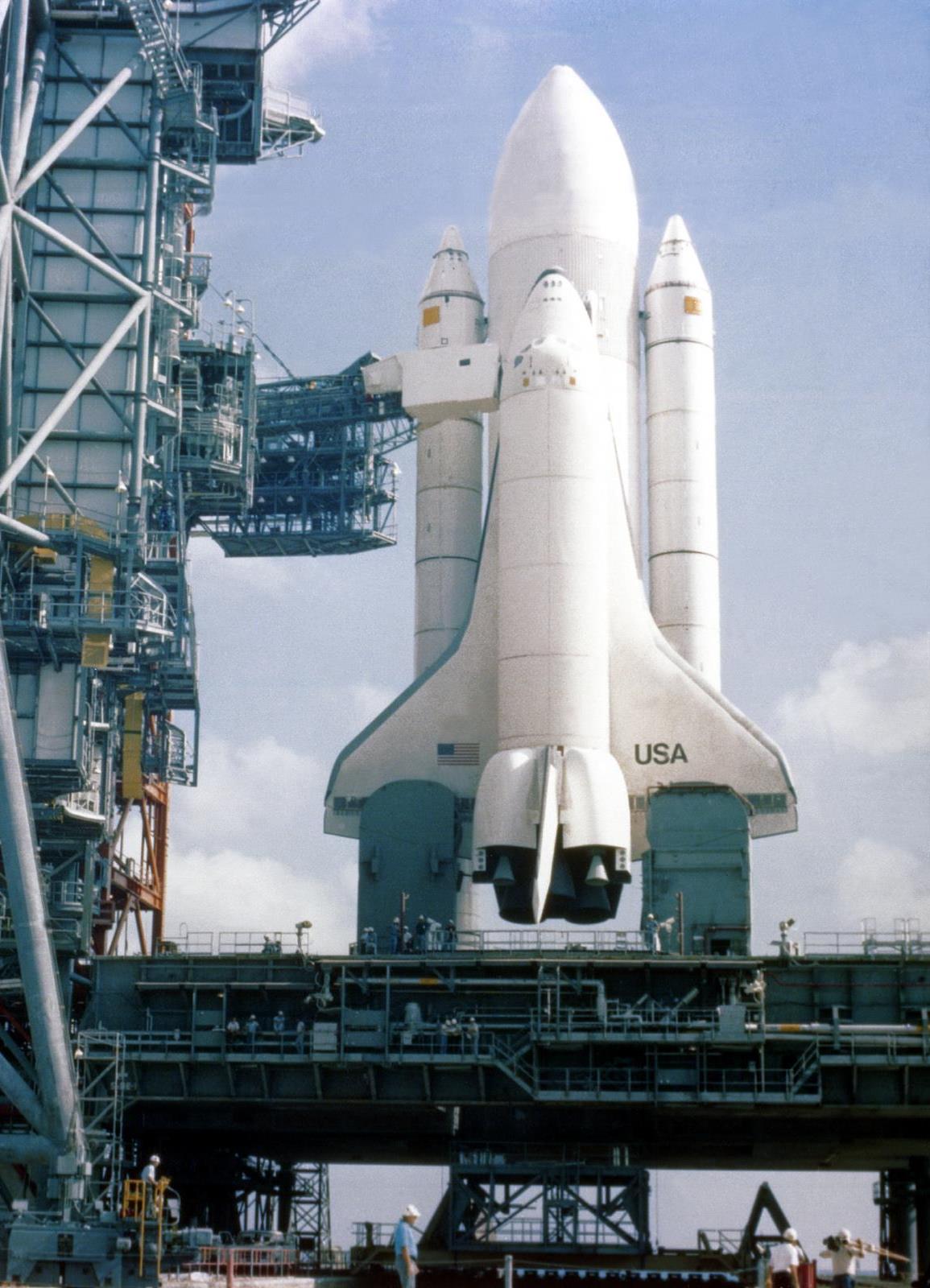
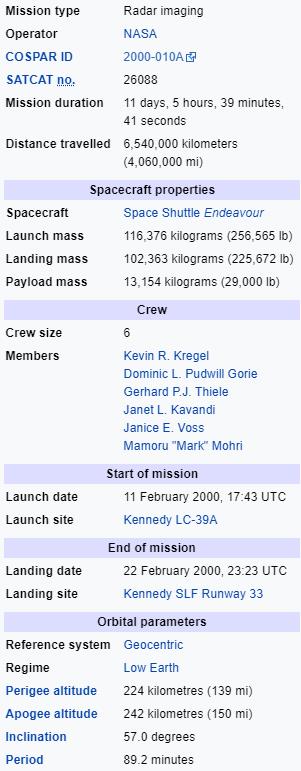
STS-98 was a 2001STS-99 was a Space Shuttle Endeavour mission, that launched on 11 February 2000 from Kennedy Space Centre Florida. The primary objective of the mission was the Shuttle Radar Topography Mission (SRTM) project.
Pages within this section: USA Shuttle Mission Flights
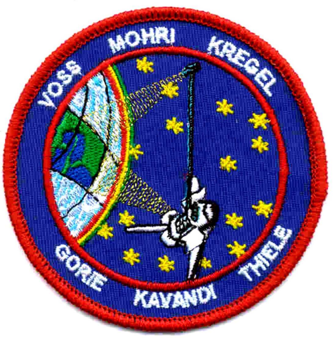
STS-99
Pages within this section:
The Space Shuttle Missions
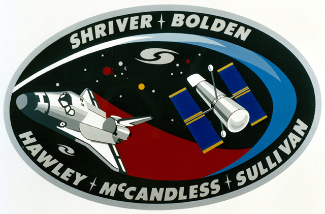
Astronauts:
STS-99
Command Pilot:
Pilot:
94
M
8
SM
Sub-Menu
menu
-
95
97
98
99
100
101
96
The Shuttle Radar Topography Mission (SRTM) was an international project spearheaded by the National Imagery and Mapping Agency (now the National Geospatial-Intelligence Agency), an agency within the U.S. Department of Defense, and NASA, with participation of the German Aerospace Center DLR. Its objective was to obtain the most complete high-resolution digital topographic database of the Earth. SRTM consisted of a specially modified radar system that flew onboard Endeavour during its 11-day mission. This radar system gathered around 8 terabytes of data to produce high-quality 3-D images of the Earth's surface.
SRTM used C-band and X-band interferometric synthetic aperture radar (IFSAR) to acquire topographic data of Earth's land mass (between 60°N and 56°S). It produced digital topographic map products which met Interferometric Terrain Height Data (ITHD)-2 specifications (30 meter x 30 meter spatial sampling with 16 meter absolute vertical height accuracy, 10 meter relative vertical height accuracy and 20 meter absolute horizontal circular accuracy). The result of the Shuttle Radar Topography Mission was close to 1 trillion measurements of the Earth's topography. Besides contributing to the production of better maps, these measurements could lead to improved water drainage modeling, more realistic flight simulators, better locations for cell phone towers, and enhanced navigation safety.
The Shuttle Radar Topography Mission mast was deployed successfully to its full length, and the antenna was turned to its operation position. After a successful checkout of the radar systems, mapping began at 00:31 EST, less than 12 hours after launch. Crewmembers split into two shifts so they could work around the clock, and began mapping an area from 60 degrees north to 56 degrees south. Data was sent to the Jet Propulsion Laboratory for analysis, and early indications showed the data to be of excellent quality.
Mapping proceeded fairly smoothly, but during an attitude-hold period for payload mapping during the second day of flight, it was determined that orbiter propellant usage had doubled from 0.07 to 0.15% an hour. The increase was caused by a failure of the payload cold-gas thrust system that was used to offset the gravity gradient torque of the mast. As a result of this failure, orbiter propellant was being used at a higher-than-planned rate to maintain the attitude of the vehicle. Measures to reduce the expenditure were evaluated and based on the analysis, enough propellant could be saved to complete the planned 9-day plus science mission.
The first of a series of "flycast" manoeuvres during the mission was also made on the second day of flight. The flycast manoeuvre was designed to reduce strain on the almost 200-foot (60 m) mast extending from Endeavour's payload bay when adjustments to Endeavour's orbit were needed.
The orbiter, which flew tail-first during mapping operations, was moved to a nose-first attitude with the mast extending upward. A brief reaction control system pulse began the manoeuvre. This caused the mast to deflect slightly backwards then rebound forward. As it reached vertical, a stronger thrust was applied, arresting the mast's motion and increasing the orbiter's speed.
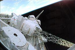
The SRTM radar boom in Endeavour's payload bay, extending 60 meters off the vehicle's port side